While in Kanab, UT Vermilion Cliffs National Monument has been Joe's favorite hiking destination. He has been very fortunate to visit most of the best places in the National Monument. Both of us got a permit and were able to visit Coyote Buttes South. Joe went to White Pocket, Wire Pass / Buckskin Gulch, Edmaiers Secret, and Coyote Buttes North.
Wire Pass and Buckskin Gulch
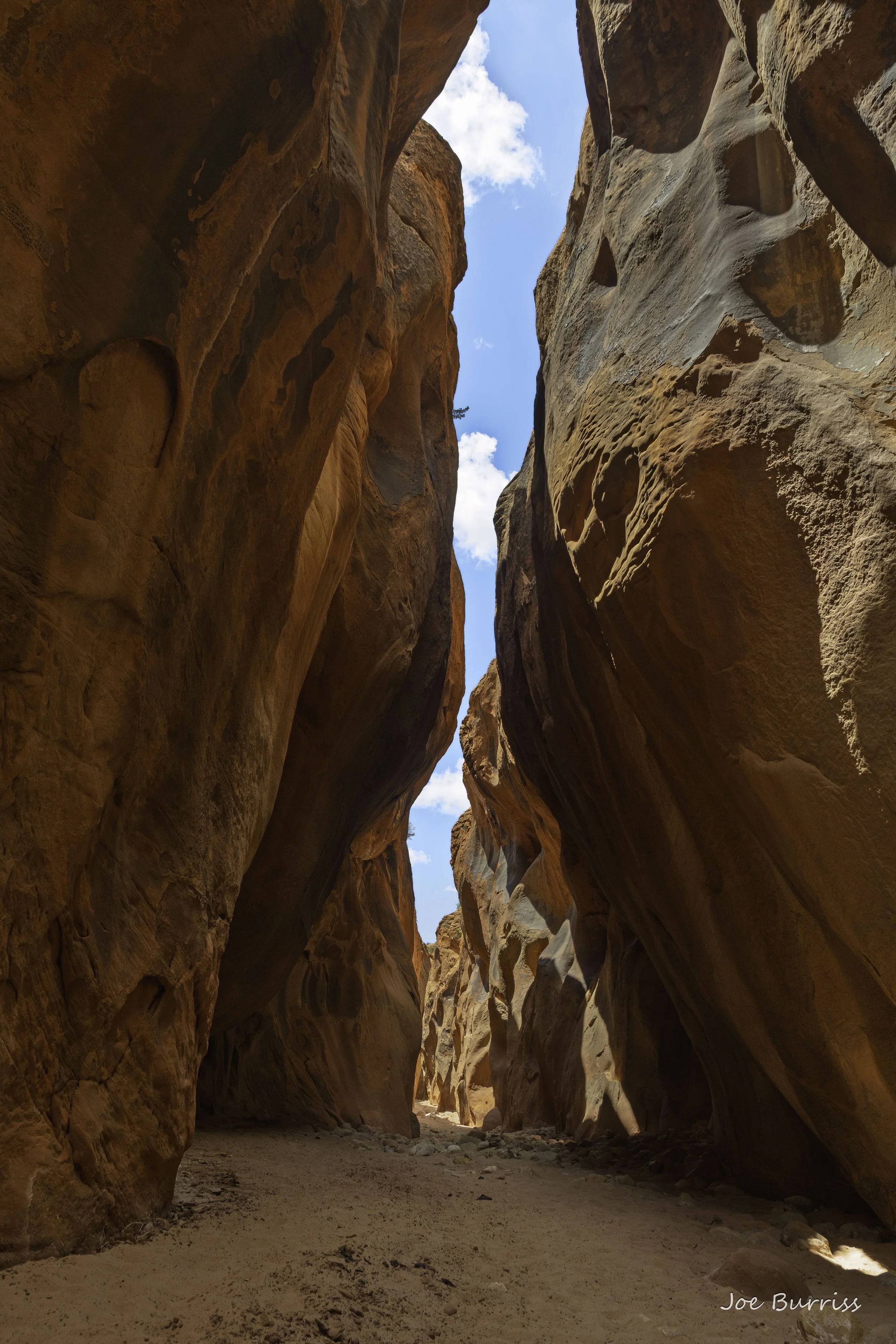
Upper Buckskin Gulch
Slot Canyon hiking is a lot of fun; however, you should never enter a slot canyon if it is raining anywhere in the watershed surrounding the canyon. This can be quite some distance. For Buckskin Gulch it must not be raining anywhere from Bryce Canyon National Park 80 miles away to Vermilion Cliffs National Monument. Each year a few people who don't follow this simple rule die in slot canyon floods where the water will run fast and deep, frequently 20-30 feet deep. This year two sisters (age 3 and 7) have already died when caught inside a slot canyon during a thunderstorm and swept downstream.
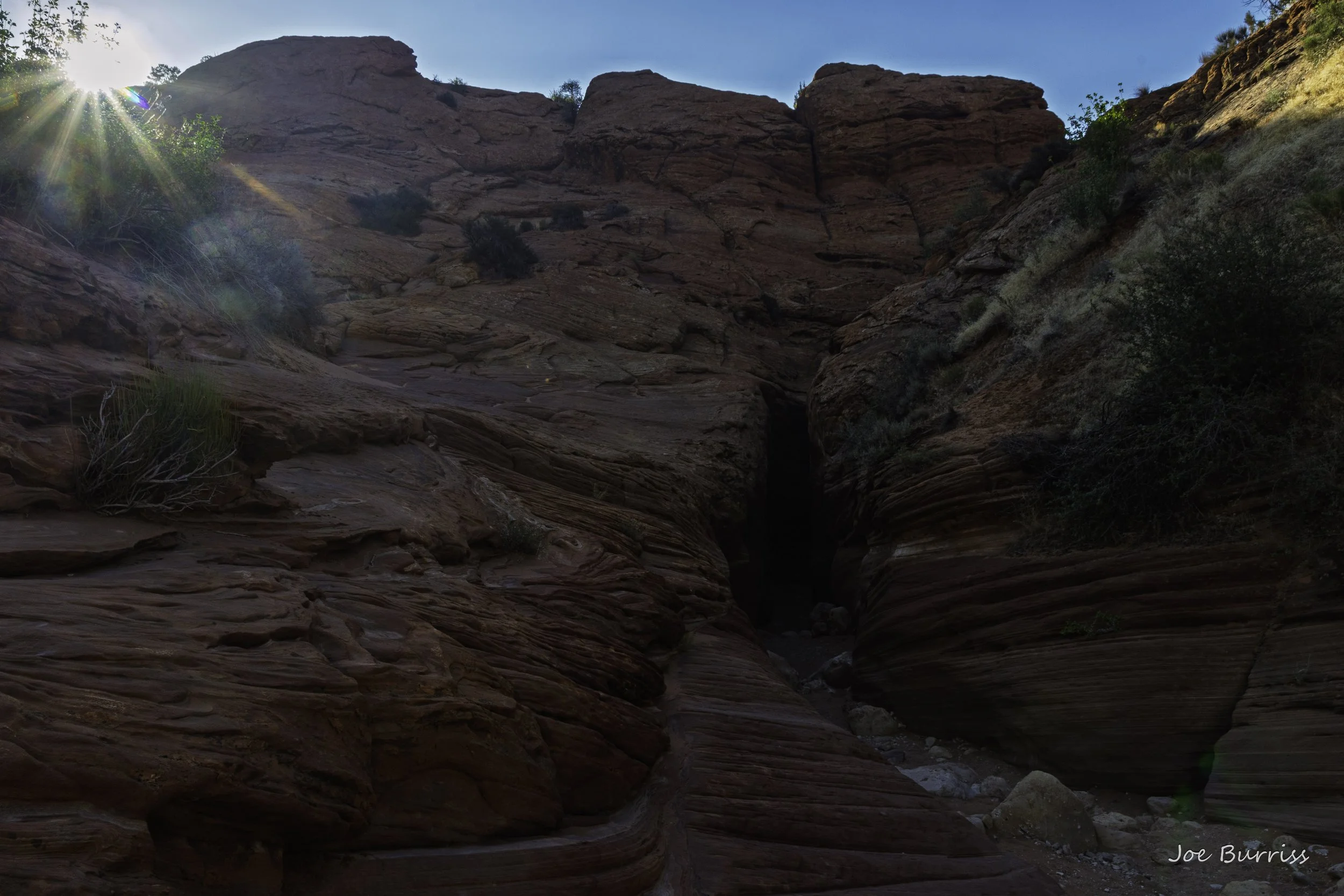
Entrance to Wire Pass at sunrise
If you decide to hike a slot canyon, do a little research to make sure you pick wisely and are up to the hike you choose. They can be very easy to extremely difficult and technical with equipment needs such as ropes long enough for the climbs you will do, a harness, anchors, rappel device with locking carabiner, wet suits, etc. If you wish to complete a difficult canyon, hire a guide who will make sure you have the proper equipment and will keep you safe. Joe only does non-technical canyons with some scrambling.
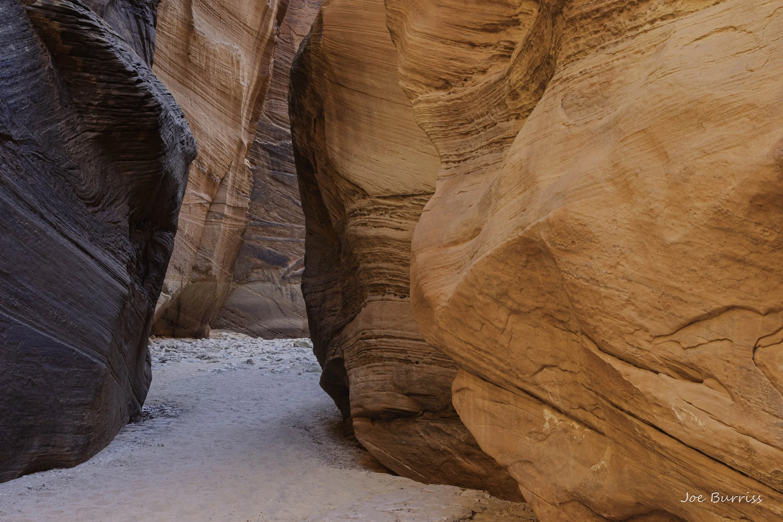
Wire Pass
Buckskin Gulch at 21 miles long is one of the longest slot canyons in the world. There are two non-technical entrances in the upper reaches of the canyon. Joe hiked to both of them. The first is to start at the Buckskin Trailhead and follow Buckskin Wash for about 3 miles until it transitions into Buckskin Gulch, then either exit at Wire Pass about 3 miles from the start of the gulch or turn around when you are about half tired. Joe is a turn around when half tired kind of person. Many of these hikes and canyons look very different on the return trip, rewarding a person with new sights and always with different light.
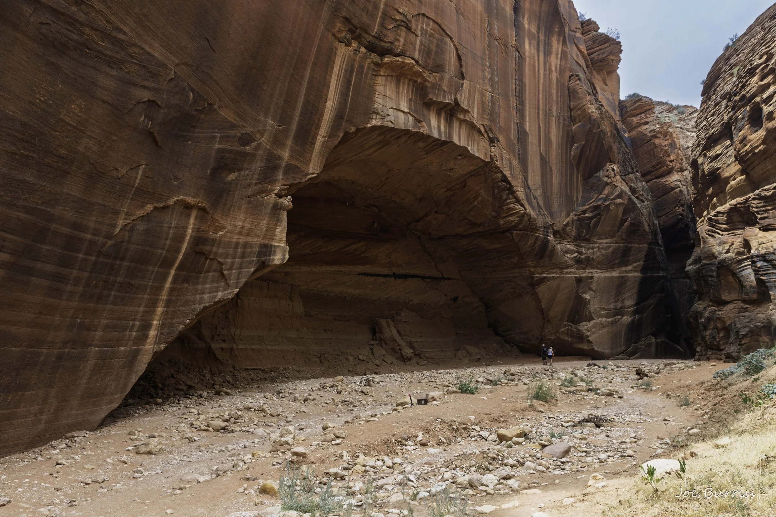
Confluence of Buckskin Gulch and Wire Pass. Note the people for scale. Wire Pass is the narrow slot in the rock toward the right side of the photo.
The other way into Buckskin Gulch is to start your hike at Wire Pass Trailhead and hike about a mile and a half to Wire Pass and continue through the short slot canyon to Buckskin Gulch. In the middle of the first section of Wire Pass there is a large choke stone that results in a 10 foot obstacle you need to either climb or walk around. There is a log leaning against the choke stone that can be climbed, but it works best if you have somebody to tell you where to put your feet on the way down. Otherwise, you can do as Joe did and climb a small hill marked by cairns to just skip that 100 yard section of Wire Pass.
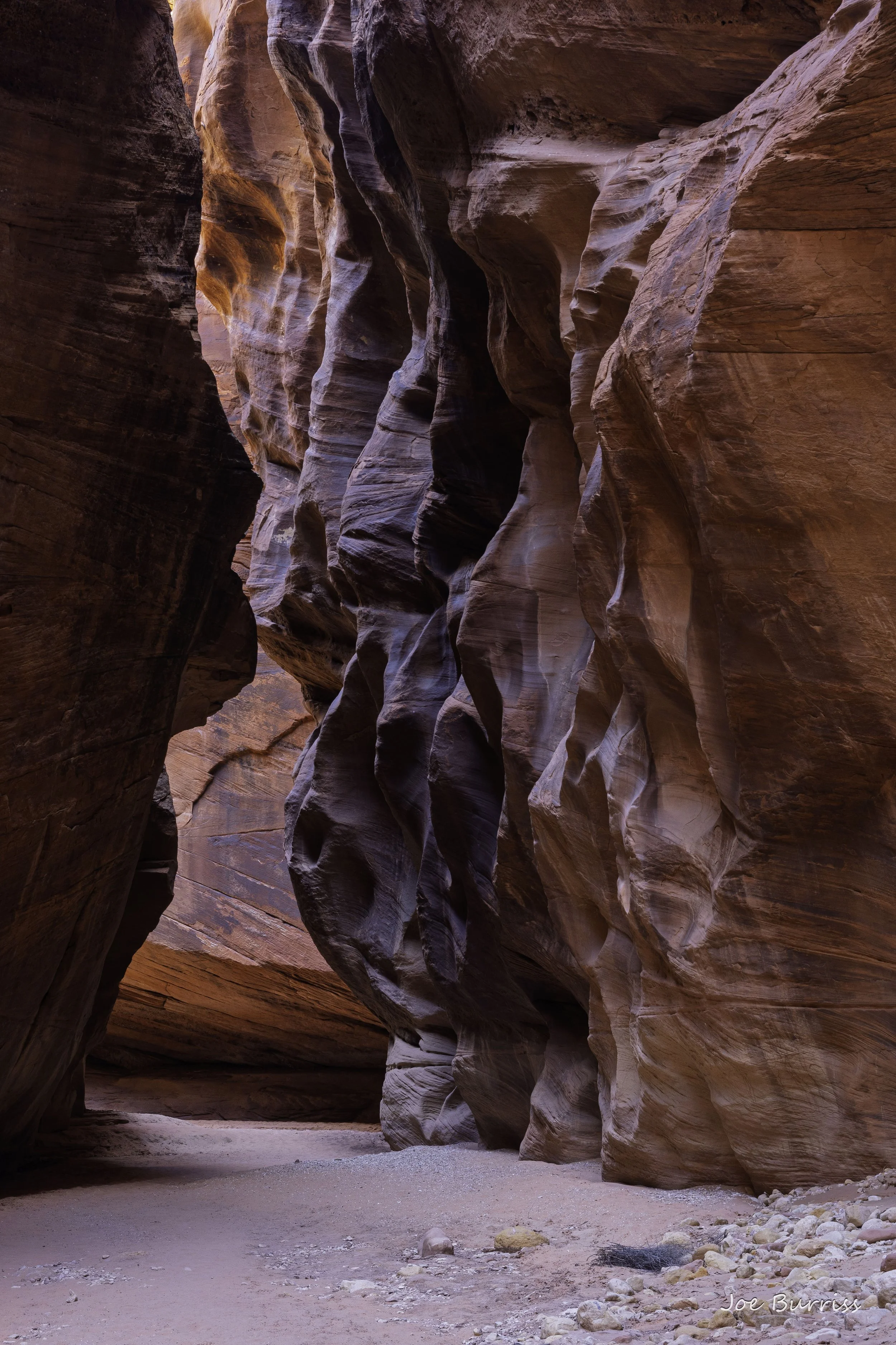
Lower Buckskin Gulch
Wire Pass and Buckskin is a beautiful hike with amazing shapes to explore and colors to see. The light is generally best from 10 am to 2 pm as it is able to penetrate the canyon and bring out the colors in the walls.
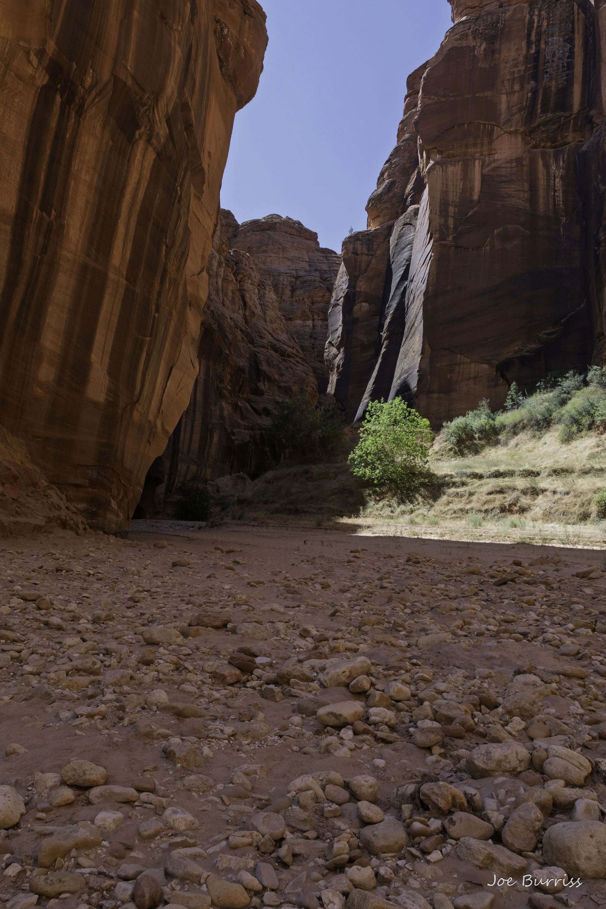
A wide spot in Buckskin Gulch.
In the about five miles of Buckskin Canyon Joe visited it ranged from about 5 feet deep to more than a 100 feet deep. The width at the floor ranged from about four feet wide to about 100 feet wide. It was mostly less than 10 feet wide. Slot canyons are a great place to hike on hot summer days as they will be significantly cooler than the sunbaked trails leading to and from them.
Edmaiers Secret and West Clark Bench
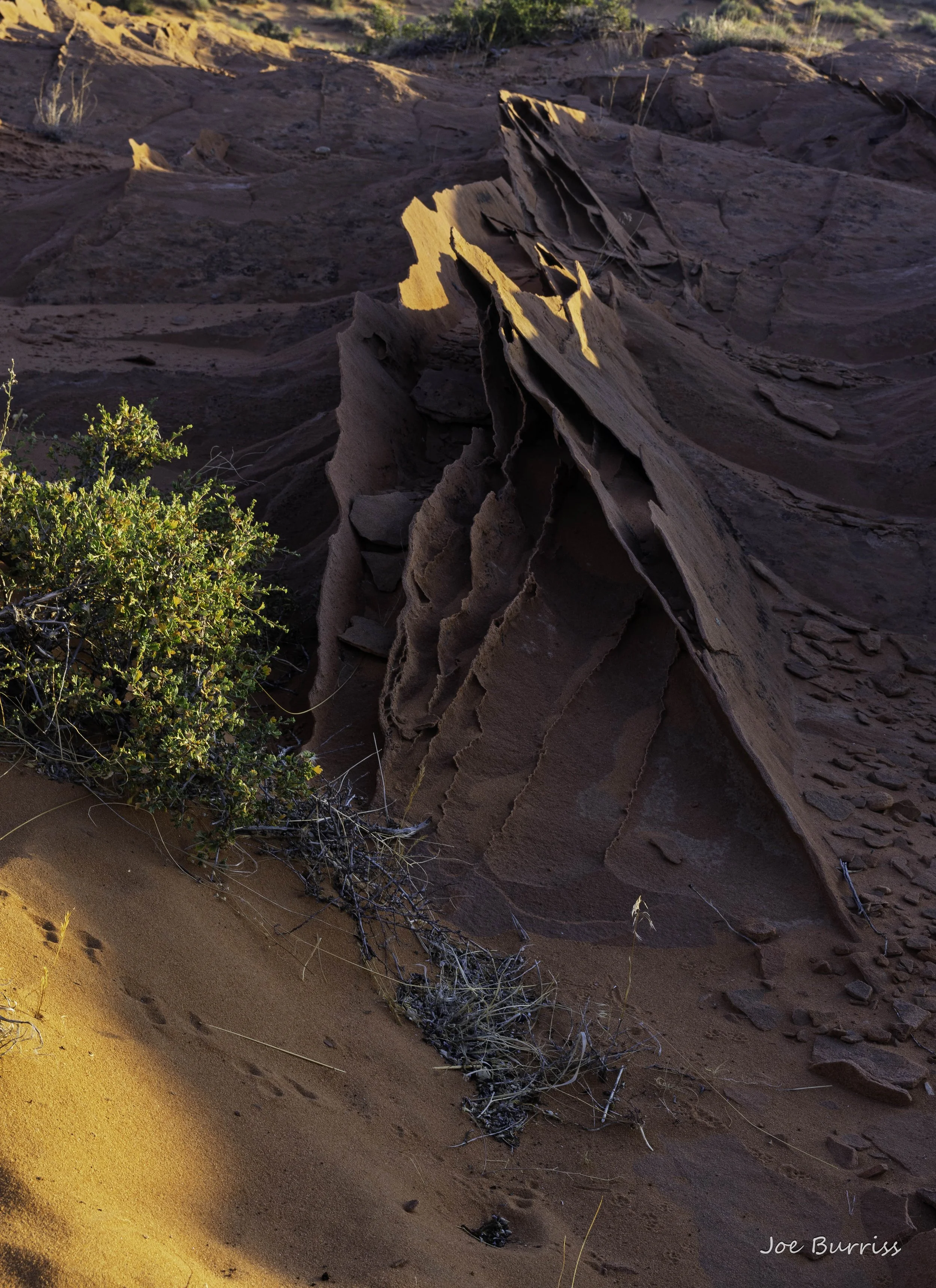
Fins - the rock is between 1/4 inch and 1/2 inch thick
Edmaier’s Secret and West Clark Bench are really one hike. Edmaiers Secret is the lower part of the hike and West Clark Bench is the upper, more strenuous part of the hike. Both have lots of amazing natural rock art. It seems to us that Vermilion cliffs is mostly about some of the best weird and amazing rock shapes we have seen in our travels.
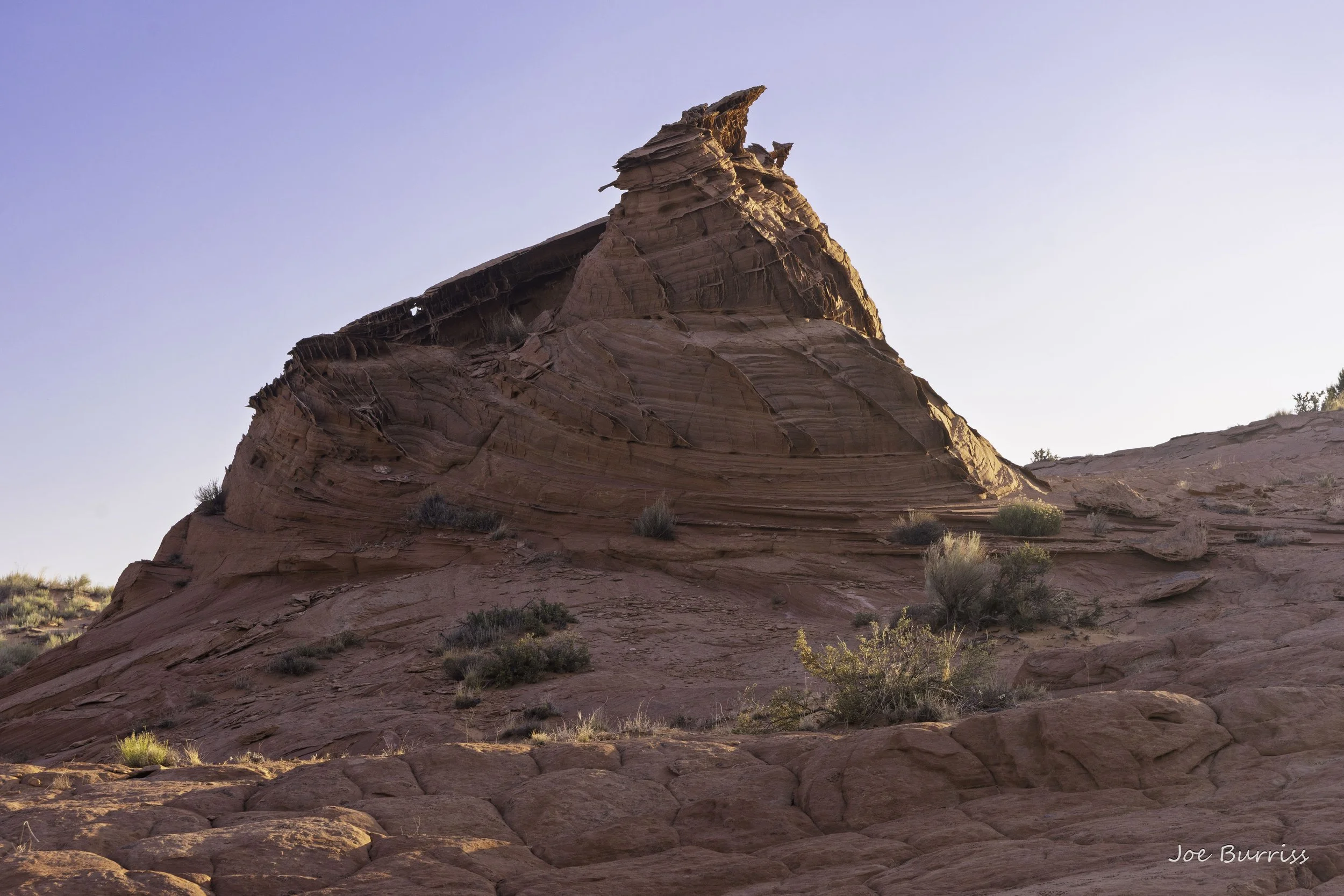
A Teepee with a Hoodoo on top
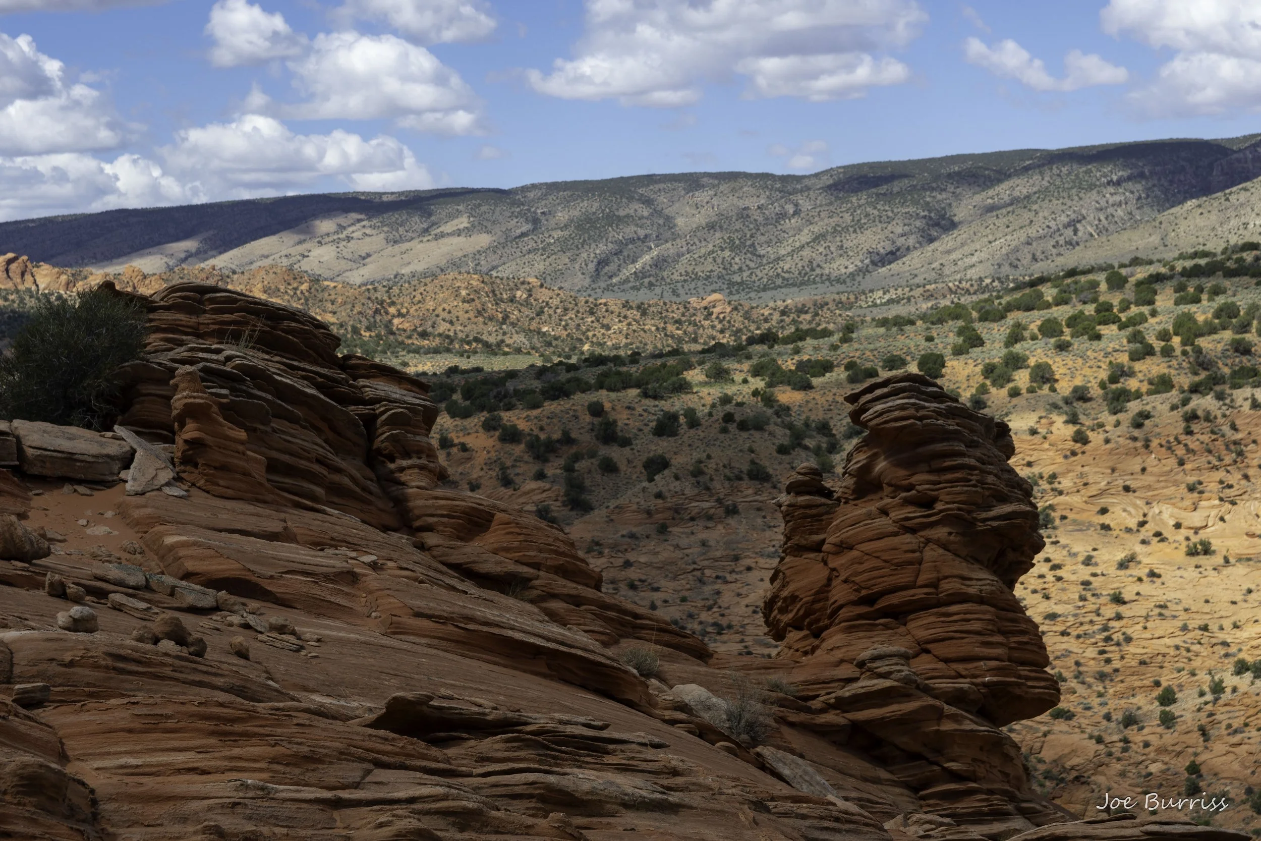
View from West Clark Bench
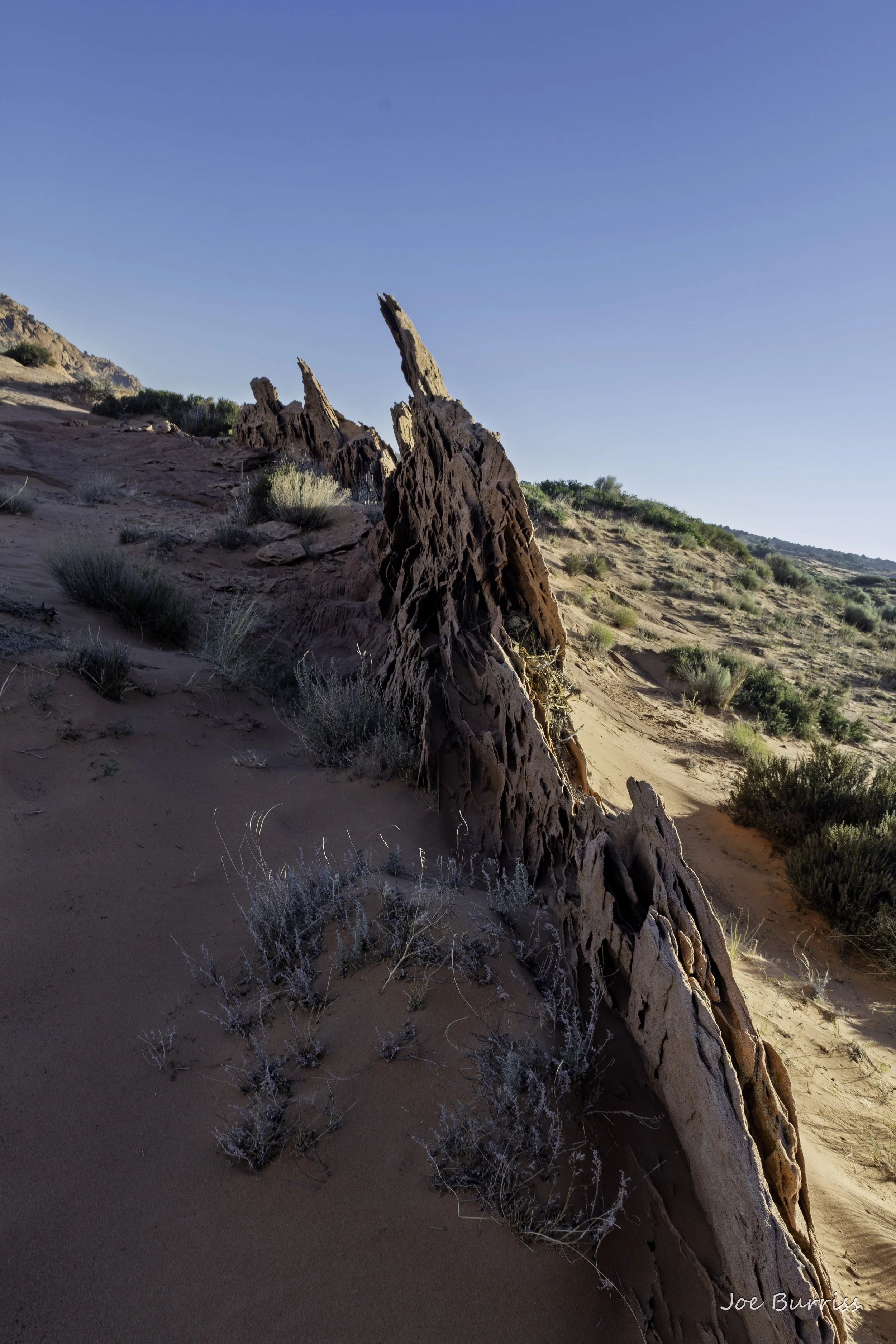
More Fins
This hike takes about 6-8 hours and includes 2 miles of mostly boring hiking down the Buckskin Wash to reach Edmaiers Secret, and of course 2 miles back to the truck. After you leave the wash the hike has no trail to follow and is mostly walking on slick rock (with a little deep sand to keep things challenging), nearly all of which is slanted. The walking is a bit like cutting grass in West Virginia on a mountainside.
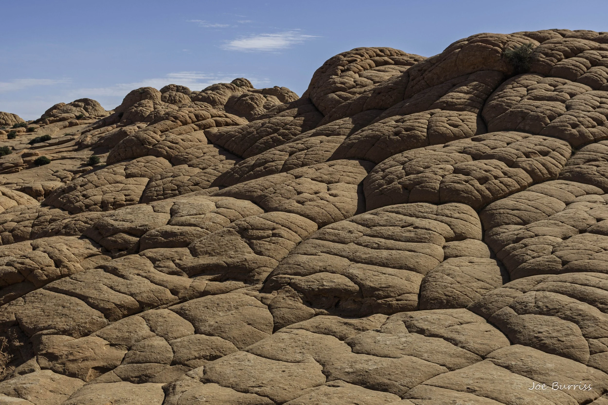
Brain Rock
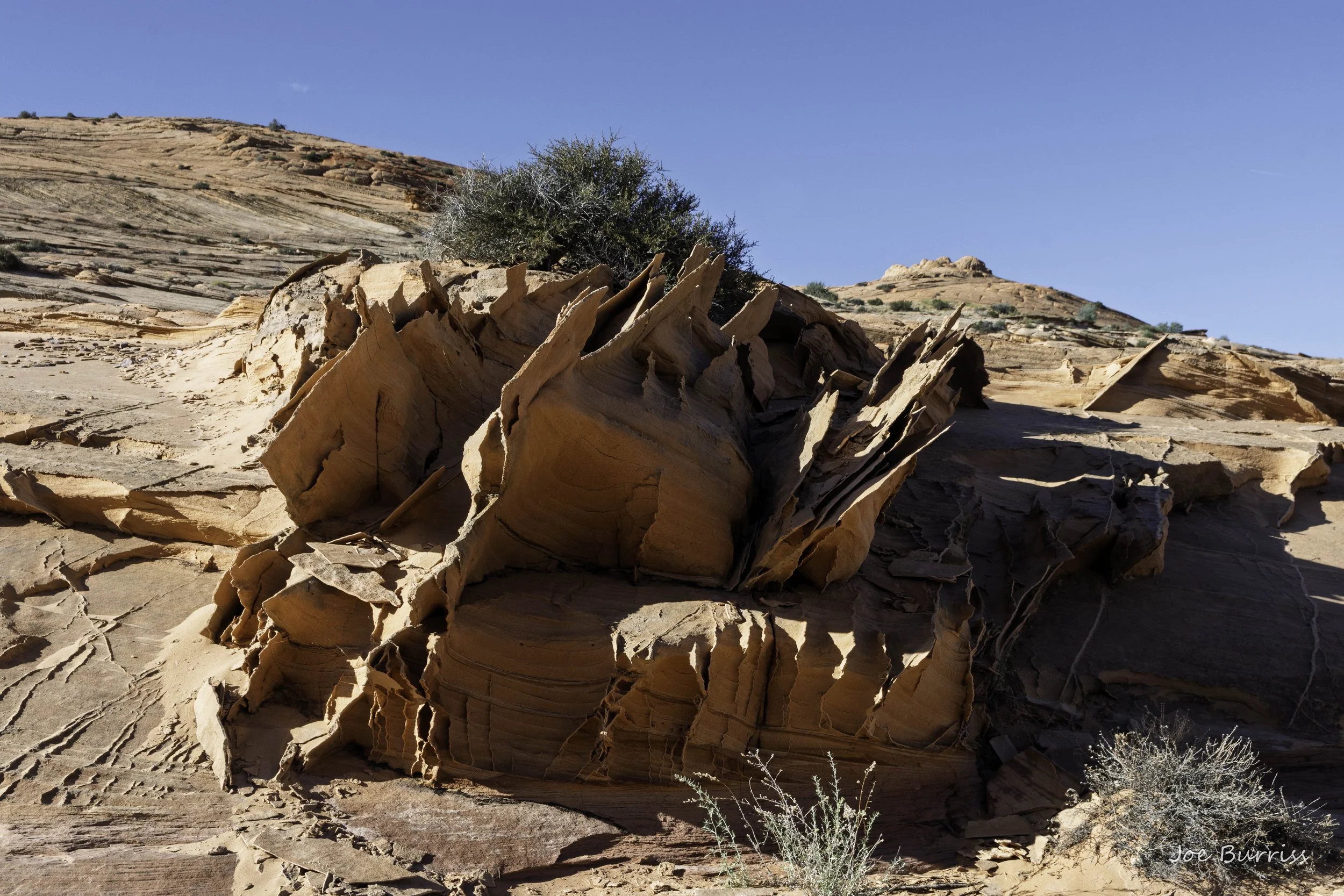
The Bedlam
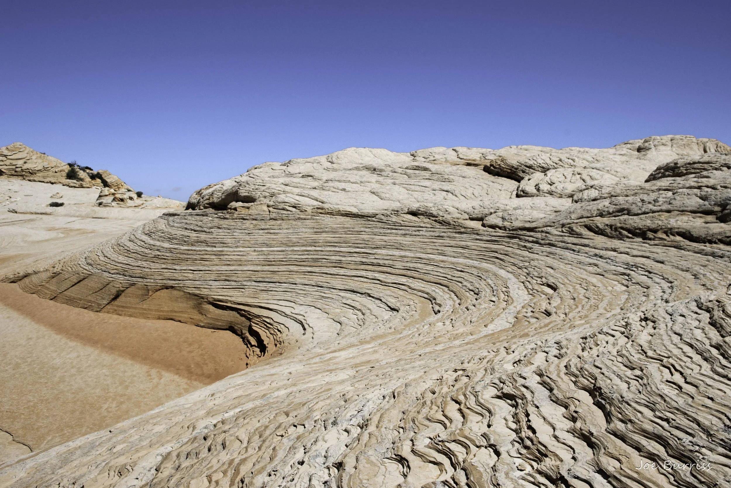
S Curve
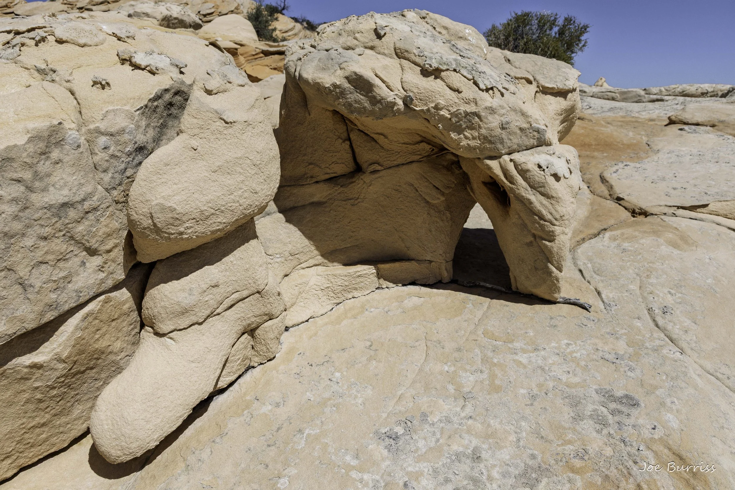
Little Arch and Fins - West Clark Bench
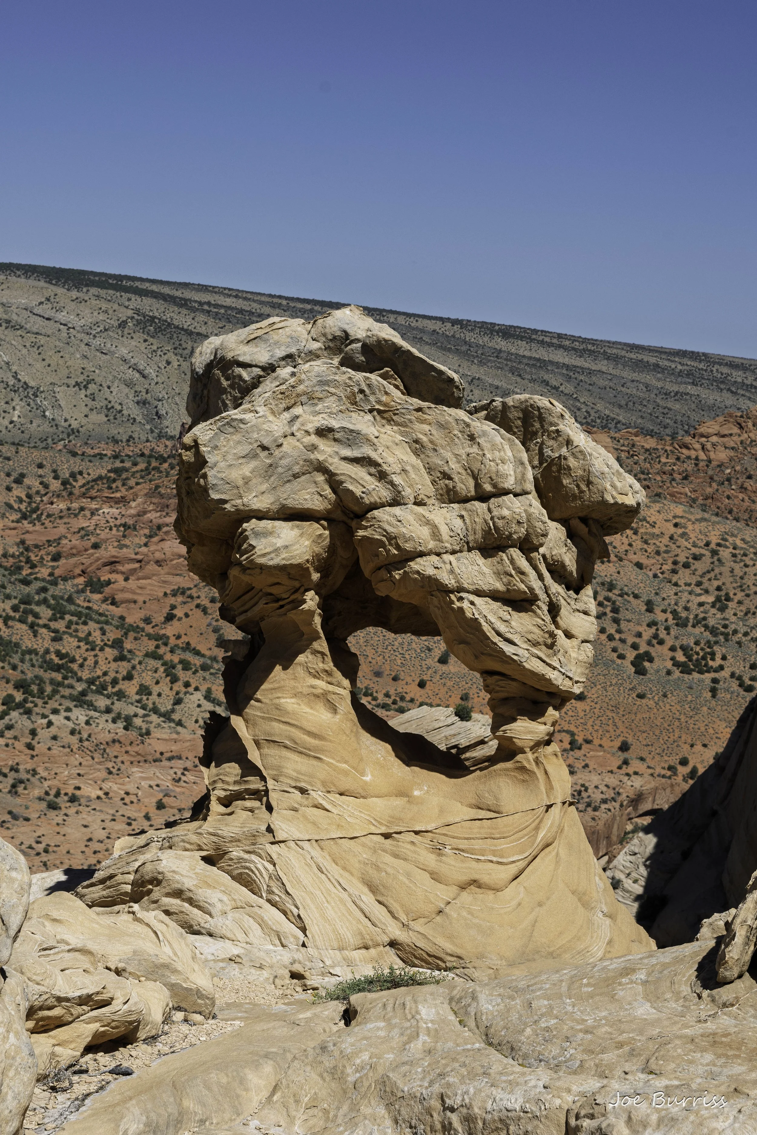
Arch on top of West Clark Bench
It is best to have a hiking GPS on which to load the trail and waypoints looked up online so you can find the great sights once you're out. It is very easy to walk 25 feet from something and never see it. It is also difficult to find a safe way up and down from West Clark Bench around the cliffs. The website https://www.thewave.info/index.html belongs to a professional photographer who has spent decades hiking and photographing this area. He kindly provides Garmin files that can be downloaded to a Garmin GPS. Joe used them extensively during his hikes to find many of the items he photographed in the Kanab area.